
South Fork Kern River
The Kern River is the biggest waterway in the southern Sierra Nevada mountains. Its headwaters start near Mount Whitney and eventually make their way down the granite gorge of the Lower Kern into the citrus groves near Bakersfield, CA. The Upper Kern is the stretch of river above Lake Isabella, north of Kernville, along the paved highway leading to the Forks of the Kern.
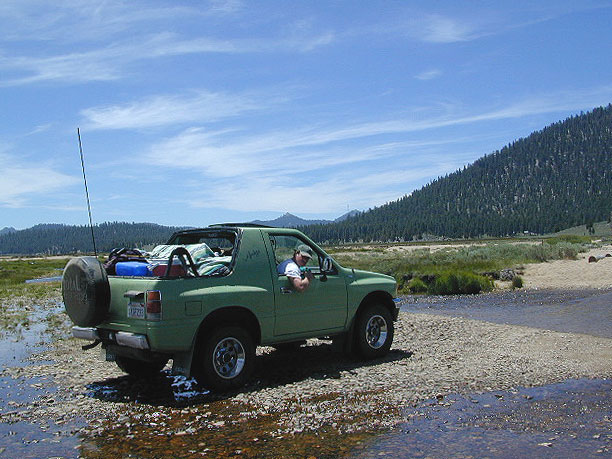
The smaller South Fork Kern River leads into Lake Isabella from the eastern desert ranges, towering high above the north Mojave. This southern Sierra side-kick river descends down from high elevations on the Eastern Sierra, traverses through forests, meadows, granite, waterfalls and turns sharp 45 degrees to the west near at Hwy 178 @ Canebrake (jct. Chimney Peak Backcountry Byway).
Kennedy Meadows, Troy Meadows, and Monache Meadows are all atop the area known as the Kern Plateau. Bakeoven Meadow is a slice of wilderness heaven surrealism, surrounded by peaks and forest, all this beauty on the Inyo and Sequoia National Forests borders.
Monache Meadows is the place to really experience camping seclusion and fly fishing on the Kern's SouthFork. This is an awesome backpacking destinations, as many hiking trailheads lead to the Golden Trout Wilderness or South Sierra Wilderness. Olancha Peak @ 12,123' elevation, can be easily reached by a day hike from the back of Monache. There are NO DEVELOPED Campgrounds out here, nor are there any services or facilities of any kind.
PCT hikes - Pacific Crest Trail access, from Monache corrals, hike 3.3 miles up to the PCT, or continue on to Olancha Peak. Dome Land Wilderness, Golden Trout Wilderness, and Southern Sierra Wilderness all close by.
Now here's the catch. This high alpine, 8000 foot pristine mountain meadow can be hard to reach by vehicle. Mud can be an issue, so can snow. The dirt road is marked "4x4 Jeep Road" - 2WD high clearance SUVs and trucks have been known to tackle it without a problem in dry, summer months. In the winter with deep snows, forget it. Maybe you can get a snow-mobile back here, but you would need to verify that with the experienced rangers over at Black Rock, near Troy Meadows (W of Kennedy Mdws).
To reach this forest meadow you can come up from 3 different ways (via automobile)
- From MOJAVE, US Highway 395 - Northbound, before Little Lake, take left on County Rd J41 (Nine Mile Cyn, paved) go up the mountain, and straight past Kennedy Meadows follow signs to Black Rock ranger station.
- From Kernville, Hwy 155 - Sierra Hwy N, cross Johnsondale Bridge, right turn on Sherman's Pass, near Troy Meadows turn left to Black Rock.
- From Canebrake, Hwy 178 - Take dirt road Chimney Peak, N to Kennedy Meadows, left turn to Troy Meadows, then right to Black Rock.
MAPS of the Southern Sierra Nevada Mountains -
Inyo National Forest Map
Sequoia National Forest Map
Domeland Wilderness USDA
Golden Trout Wilderness USDA
South Sierra Wilderness
Golden Trout Wilderness Map


