Posts

Showing posts with the label ancient

Fossil Falls on Hwy 395
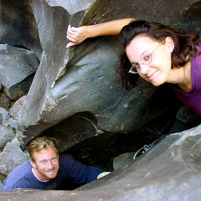
Image
While it may be a bit hot to visit here during summer, I thought I would let everyone know about this awesome "stretch break" along US Hwy 395 , where the Mojave meets the Sierra Nevada. When you are on your way northbound toward Bishop, entering the lava corridor of the Eastern Sierra, look for a red cinder cone volcano on the right side of the highway. This easy to miss turn off is after Little Lake (which is the remains of a burnt hotel) & before Coso Junction. If you are driving over 55 mph, you may actually miss it. To find Fossil Falls (which is not a waterfall anymore) -- turn right off Highway 395, on to a well marked gravel road called CINDER ROAD. High clearance vehicle is not required. Follow road to the right w/ signs approx. 1 mile & you will be at a small primitive BLM campground & trailhead parking lot. Surrounded by a field of black lava chunks, the Sierra Nevada mountains to the west and Death Valley Park to the east. New picnic tables ...

Sequoia Map

Image
  If you are searching for maps on the mighty Sequoia region of California, we may be able to help here at Total Escape. First, decide what park or forest. There are up more than 6 'agencies' managing our Giant Sequoia Trees in the Sierra Nevada Mountains. See the list below w/ maps. Big, Old, Huge, Tall Trees : overview page for the Redwoods on the California North Coast, the Sequoia of the Sierra Nevada mountains and the oldest trees, the Ancient Bristlecone Pines over on the east side. Sierra Nevada SEQUOIA GROVES can be found in: Sequoia National Forest Sequoia National Park Kings Canyon National Park Yosemite National Park Mountain Home State Forest Calaveras Big Trees State Park Giant Sequoia National Monument SEQUOIA MAPS below: printed on polypropylene plastic, waterproof maps, tear-resistant, recyclable Sequoia National Forest Map USDA Sequoia National Park Map (NatGeo) Sequoia / Kings Canyon Map (Tom Harrison) Sierra National Forest M...