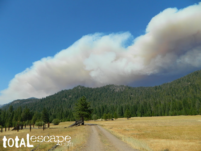
California Wildfire Affected Areas: Dixie Fire

Dixie Fire 2021 963,309 Acres burned Butte County, California Plumas County, California Lassen County, California Shasta County, California Tehama County, California Almanor, CA Belden Town, CA Bucks Lake, CA Buntingville, CA Butte Meadows, CA Canyondam, CA Chester, CA Clear Creek, CA Crescent Mills, CA Greenville, CA Jonesville, CA Keddie, CA Meadow Valley, CA Milford, CA Mill Creek, CA Old Station, CA Taylorsville, CA Tobin, CA Twain, CA Westwood, CA CA SR 70 (Highway 70 N Feather River Canyon) CA SR 36 (Highway 36 E) CA SR 89 (Highway 89) CA SR 44 (Highway 44) Areas affected by this wildfire: Lassen Volcanic National Park Lassen National Forest Lassen Volcanic Wilderness Caribou Wilderness Plumas National Forest Bucks Lake Wilderness Taylorsville County Park Mount Hough State Game Refuge PCT Pacific Crest Trail (Bucks Lake to the Hat Creek Rim) Feather River North Fork Susan River Headwaters Bucks Lake Beach Ante...
