Posts

Showing posts with the label trailhead

Trinity Alps Wilderness Topo Map

Image
Trinity Wilderness Map  new edition 2013  After 2 years outta stock status the Trinity Alps Wilderness Map is finally back in stock at Total Escape. USDA recently updated, reprinted and released this long-waited NorCal title and we expect it to be a great seller (just like the last version was). Backpacking, day hiking, horseback, high elevation camping - all campgrounds, roads, trails, waterfalls, lakes, mountain peaks and trailheads. Trinity River, Salmon River, Klamath River, Highway 96, Highway 3, Forks of the Salmon. Surrounded by Six Rivers National Forest and Trinity National Forest, both west of Interstate 5 in Northern California.   nearby towns include -  Douglas City, CA Etna, CA Fort Jones, CA French Gulch Gazelle, CA Happy Camp, CA Helena Junction City Lewiston, CA Orleans, CA Trinity Center Weaverville, CA Willow Creek Yreka, CA   Big Foot in Happy Camp, CA

The Road to Joy

Image
The Road to Joy Originally uploaded by danamight Outdoors is my passion & this stuff, these photos, these stories, my web site is my work, my art, for you to discover what I have seen. The back roads of California are alive with all flavors. My gift to you, the world. Enjoy. Green Creek California is a very special place I visited back in mid 2004. These Sierra Nevada photos have taken a while to upload, but here they are, for your viewing pleasure. This prime Eastern Sierra camping area is well worth the long journey. Plan to spend a minimum of a week here for the full spectrum of recreation. The graded dirt road is suitable for passenger cars & RVs too. Hiking, fishing, camping, it's all out here near Bridgeport CA; Altho most are so in a hurry to reach Bodie Ghost Town State Park, they completely ignore this area, just on the other side of Highway 395. If you have some free time, I would highly suggest this primitive camping location on the Hoover Wilderness bounda...

Trail Wilderness

Image
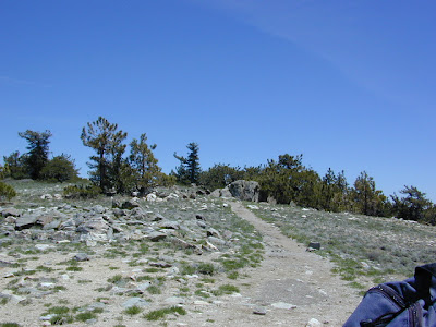
Mount Pinos Peak 8830' elevation, Kern County We all seek a wilderness trail to hike or stroll. Wonderful weather, enveloped in scenery, a peaceful place to call our own - if only for the day or the whole weekend. Deep inside the sacred space we call nature, Mother Earth. Maybe a picnic and waterfall as the highlight of the whole day. In California we are lucky to have plenty trails to enjoy and explore. Whether you want a foot trail to a lake, a fishing trail along the river, a backpackers trail over the highest peaks, an equestrian trail, a mountain bike route, or snowmobile trails new and fresh, we just might have it on our maps - somewhere in here . California Wilderness Areas California Forest Maps California Wilderness Maps California Topo Atlas California Recreation Maps Tom Harrison Topographical Maps