Posts

Showing posts with the label routes

Dirt Biking Trails

Image
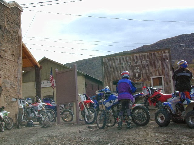
California has the most amazing and diverse terrain you can imagine. Ancient lava beds to dense forests, giant boulder rock outcroppings to sand dunes. Off road motorcycles, otherwise known as 'dirt bikes' can find riding trails near home or across the state, in far away locations. dirt bike routes dirt bike camping dirt bike trails Dirt biking off road trails can be found outside of nearly any urban city in California. In National Forests, on BLM lands, all across the many deserts and in a good portion of the mountains. The Sierra Nevada mountains located in the middle of the state has many high elevation OHV routes to small alpine lakes and primitive camp sites. SoCal has the winter prime-time desert warmth, Central Cal has coastal dunes, steep canyons, and rugged foothills, plus the giant Mojave desert which stretches from Joshua Tree area to Vegas. NorCal has the endless forests, solitude and rivers you seek. SoCal Off Road Areas Imperial Sand Dunes Heber Dunes ...

Bike Paths

Image
 Bike Trails in California / Beach Bike Paths California has some amazing scenery, small towns to big cities and what better way to enjoy it then by bike. Numerous bike paths, a couple of miles of beach or a full day cycling journey. Paved, level, leisurely bicycle routes near marinas, beaches, city bays, connecting villages small towns, redwood forest, some in the country, some along rivers and several within National Parks! Town links listed below will lead to several prime biking destinations where you can browse bike routes, hiking trails, museums, parks, campgrounds, cafes, coffee shops, restaurants, farmers markets, lodging, bike rentals and surf shops. San Diego Bike Paths Coronado to Imperial Beach (12 mi. oceanside) Mission Beach San Diego (14 mi. bay side) Mission Beach to Pacific Beach (3 mi. oceanside) Lake MiraMar, E of La Jolla (5 mi. loop on lake) Los Angeles Biking Paths Santa Monica Pier to Venice Beach (8 miles) Manhattan Beach - The ...

Mohave Preserve

Image
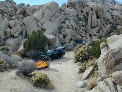
Mojave Desert / Mohave Camping Mojave, one of the largest deserts in the USA. Named after the Mohave tribe of Native Americans, it contains a number of ghost towns, the old railroad depots, and nearly 2000 plants species. The Mojave Desert is crossed by major routes - Interstate 15, Interstate 40, US Highway 395 & US Highway 95. READ MORE Right in the middle of the Mojave Desert is the National Preserve. The largest joshua tree forest in the state of Cali. Summer temps can easily reach the triple digits, so camping and hiking is most favored in autumn, winter or spring months. There are many primitive style (free) camp spots inside the park and surrounding the park, and there are also a few developed campgrounds as well. Goffs schoolhouse to the east has outdoor showers. Hole in the Wall Campground Mid Hills Campground Black Canyon Corral & Group Camp Hundreds if not thousands of dirt roads network the Mojave desert This desert park is an ideal spot for "i...

Benchmark Maps

Image
Benchmark Maps are the best, full state, full featured, road map for exploring the Western US. DanaMite, founder of Total Escape, has been using hers since 2000, and has always found a place to camp, on any dirt road, even in the wee hours of the night. Imagine waking up the next morning, with stunning scenery all around, cuz you went the distance. Benchmark Atlases for the Western United States CALIFORNIA ARIZONA NEW MEXICO NEVADA UTAH WASHINGTON OREGON