Posts

Showing posts with the label outdoors

Poppies and South Fork, Merced River

Image
hite cove trail poppies and South Fork of the Merced River below a photo by Mrs Rachel on Flickr. Is it happening yet? Have you seen them? Where? Zillions of web sites and pages referencing wildflowers in California. The best imagery can be found on Flickr searches, which landed me on this incredible shot by Rachel. Total Escape covers California wildflower reporting starting in March each year.

Waterproof Maps

Image
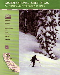
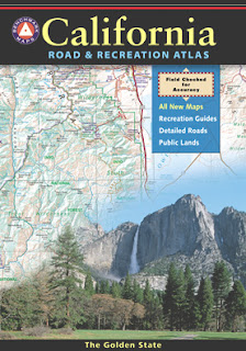
Been there, done that. Way into the outdoors . If you know someone on your holiday gift list like this, maybe they need some new local areas to explore. Grab a new waterproof map from Total Escape , NatGeo, Tom Harrison, USDA, we have 'em all. If plastic durability is not a concern, then try the wonderful, accurate, large, overview atlas (book map) for every California road trip. Benchmark brand is the best with big, detailed, dirt road, hot spring, outdoor beauty. Way better than DeLorme.

tour california map

Image
You can pick up any popular road atlas of California in the supermarket. These Rand McNalley's and Thomas Brothers map books will show you how to get around in the freeways and the cities of Cali. We wanna show you more, much more. The real scenic drives, the back roads and rural highways. More of REAL CALIFORNIA Total Escape has every possible wilderness map you could ever need for this golden state. The Sierra mountains, the Coast, SoCal and NorCal. We want to inspire you to be outside, to hike and explore the back roads. To fish, kayak and snow ski. To re-create in our recreation paradise called Cali-forn-ia. MAP STORE - for planning your escape

Trail Wilderness

Image
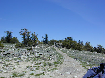
Mount Pinos Peak 8830' elevation, Kern County We all seek a wilderness trail to hike or stroll. Wonderful weather, enveloped in scenery, a peaceful place to call our own - if only for the day or the whole weekend. Deep inside the sacred space we call nature, Mother Earth. Maybe a picnic and waterfall as the highlight of the whole day. In California we are lucky to have plenty trails to enjoy and explore. Whether you want a foot trail to a lake, a fishing trail along the river, a backpackers trail over the highest peaks, an equestrian trail, a mountain bike route, or snowmobile trails new and fresh, we just might have it on our maps - somewhere in here . California Wilderness Areas California Forest Maps California Wilderness Maps California Topo Atlas California Recreation Maps Tom Harrison Topographical Maps

Sequoia Map

Image
  If you are searching for maps on the mighty Sequoia region of California, we may be able to help here at Total Escape. First, decide what park or forest. There are up more than 6 'agencies' managing our Giant Sequoia Trees in the Sierra Nevada Mountains. See the list below w/ maps. Big, Old, Huge, Tall Trees : overview page for the Redwoods on the California North Coast, the Sequoia of the Sierra Nevada mountains and the oldest trees, the Ancient Bristlecone Pines over on the east side. Sierra Nevada SEQUOIA GROVES can be found in: Sequoia National Forest Sequoia National Park Kings Canyon National Park Yosemite National Park Mountain Home State Forest Calaveras Big Trees State Park Giant Sequoia National Monument SEQUOIA MAPS below: printed on polypropylene plastic, waterproof maps, tear-resistant, recyclable Sequoia National Forest Map USDA Sequoia National Park Map (NatGeo) Sequoia / Kings Canyon Map (Tom Harrison) Sierra National Forest M

Fly Fishing Northern California

Image
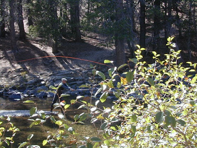
Fly fishing California is best in the Northern half of the state. With the minimal rains and minimal lakes inside Southern Cal, you best be driving north to find your perfect fishing hole -  way north. All areas around Mount Shasta & Mount Lassen are excellent for fishing. Feather River, Hat Creek, Trinity River , Klamath River , Northern Gold Country's Yuba River near Downieville & even the Sacramento River are all excellent spots for casting your line. Most of the Eastern Sierra is decent for fly fishing too. Rock Creek near Tom's Place ; behind Mammoth Lakes is Minaret Creek & Boundary Creek; Hot Creek is across the highway from Mammoth. Golden aspens are always awesome in autumn near June Lake with Rush Creek ; Green Creek is near Bridgeport CA & the Walker River is just north of that. You can find professional fly fishing guides to help you get started. Online fishing reports are updated by anglers, who also run extensive web sites on the spo