Posts

Showing posts with the label norcal

Usal Beach Campground
Image
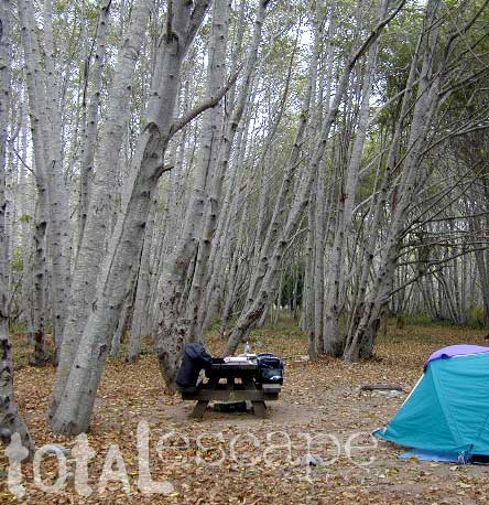
Lost Coast Camping, NorCal The USA Lumber Company ran a big wood mill on this part of the redwood coast back in the early days. This camp's name gets shortened to USAL. Usal Beach Campground near Shelter Cove, California This idyllic prime yet primitive, hard-to-reach beach campground is tucked well away from the crowds along the Pacific Coastal Hwy 1.  The region is California BLM land King Range National Conservation Area, or better known as the Lost Coast of California ... a famous stretch of wilderness coastline in between Mendocino and the Humboldt Redwoods. Dense forests and steep terrain located on the county line of Mendocino & Humboldt. Sinkyone Wilderness State Park is nearby. Usal Camp is the only place for drive-up car camping on the beach front in Northern Cal. All other developed camps in the area are located further inland (with forested surroundings), or backpacking, hike-in primitive campsites. Usal Campground on Usal Creek , has several idyllic se

California Fire Map

Image
California Wildfires & Fire Information Extreme drought conditions means super high wildfire dangers for all of California. As of August 1st, nearly 60% of the golden state is under EXCEPTIONAL drought, one level up from the 'extreme' classification. We are more than one years worth of water overdue. Wildfires in California are quiet common and occur annually in the later part of the year (summer - autumn)  when the natural vegetation, brush and forests are the driest. Drought.gov will show just how bad the drought conditions are currently in the Western U.S. drought.gov Southern California as well as Northern California experience wildland fires, and since Central California is backed by the Sierra Nevadas, you should expect forest fires at high elevations and lower river canyons too. California is currently experiencing extreme fire dangers, so many parks and forest areas have higher than normal restrictions. The new normal is becoming extreme, as you can im

Sardine Lake

Image
Lake Sardine California upper sardine, lower sardine lakes One of the best camping lakes in California. Any lake near Gold Lake is prime pickens. This picturesque lake called Sardine Lake, or Sardine Lakes, is located within the Lakes Basin Recreation Area , north of Gold Country Highway 49 next to the peaks of Sierra Buttes and in between Tahoe National Forest and Plumas National Forest . A two tiered water storage in granite basin bowls, with the larger upper lake situated up above at the base of the mighty granite spires of the Sierra Buttes. Very impressive views all around the Gold Lake highway. Sardine Lake Campground , elevation 5,800' developed NFS campground near lower lake w/ fee, 29 camp sites, piped water, vault toilets. 530-862-1368 Tahoe National Forest nearest town: Sierra City California, on Historic Hwy 4. Frasier Falls, Gold Lake, Long Lake Trail, and Sierra Buttes are just a few of the area attractions. more on Sardine Lake Lake fishing,

Trinity Alps Wilderness Topo Map

Image
Trinity Wilderness Map  new edition 2013  After 2 years outta stock status the Trinity Alps Wilderness Map is finally back in stock at Total Escape. USDA recently updated, reprinted and released this long-waited NorCal title and we expect it to be a great seller (just like the last version was). Backpacking, day hiking, horseback, high elevation camping - all campgrounds, roads, trails, waterfalls, lakes, mountain peaks and trailheads. Trinity River, Salmon River, Klamath River, Highway 96, Highway 3, Forks of the Salmon. Surrounded by Six Rivers National Forest and Trinity National Forest, both west of Interstate 5 in Northern California.   nearby towns include -  Douglas City, CA Etna, CA Fort Jones, CA French Gulch Gazelle, CA Happy Camp, CA Helena Junction City Lewiston, CA Orleans, CA Trinity Center Weaverville, CA Willow Creek Yreka, CA   Big Foot in Happy Camp, CA

Walkway of Redding

Image
Walkway of Redding Originally uploaded by danamight My impromptu holiday road trip to NorCal was wet, very wet, to say the least. A full solid week of rain & wind, totally drenched. Camping in the mud, not so fun. Meeting locals in Redding & Willow Creek were the highlights. Pinnacles National Monument off of Hwy 101 & King City - was my first stop, where I paid a whopping $27 to camp. The most expensive overnight in a park I can ever recall. Motel 6 might have been a better choice, since the temps dipped to 26 degrees that night. Up in Redding I opted for a cheap hotel, downtown. Walked in the drizzle to find an open restaurant & Sunday night is not a big out-to-dinner night up here, so I had trouble locating a meal. Johnnie's Bar was lit up with neon, looked new & had a Santa ping pong tournament going on. I stopped in for a bite & met Larry, a local who introduced me to his whole crew. A blues/jazz band set up around 7pm & they were pretty de