Posts

Showing posts from 2014

Responsive: 18 years
Image
Responding to the width of any device. The phrase 'responsive web design' did not exist a decade ago because bigger was better and the large 1500 mega pixel wide flat displays were all the rage back then. Wider photographs, crystal clear imagery, streaming videos and playing movies on your home computer. Gone were the days of ugly web 1.0, w/ limited screen space and 800 width, as advertising banners and text ads filled any blank space. Fast forward to today and web sites now need to look good on all computers, from desktop to palm sized. NEW SITE DESIGN IS IN THE WORKS for the content site of Total Escape. Map store sales are on the way out! Total Escape is celebrating 18 years online this month and it continues to be the independent travel guide to California Outdoors and Off the Beaten Path.

California Fire Map

Image
California Wildfires & Fire Information Extreme drought conditions means super high wildfire dangers for all of California. As of August 1st, nearly 60% of the golden state is under EXCEPTIONAL drought, one level up from the 'extreme' classification. We are more than one years worth of water overdue. Wildfires in California are quiet common and occur annually in the later part of the year (summer - autumn)  when the natural vegetation, brush and forests are the driest. Drought.gov will show just how bad the drought conditions are currently in the Western U.S. drought.gov Southern California as well as Northern California experience wildland fires, and since Central California is backed by the Sierra Nevadas, you should expect forest fires at high elevations and lower river canyons too. California is currently experiencing extreme fire dangers, so many parks and forest areas have higher than normal restrictions. The new normal is becoming extreme, as you can im

Where'd She Go?

Image
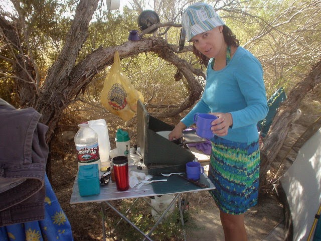
It often seems as if I have forgotten about this long standing blogger blog, leaving it for months at a time without a post (maybe while traveling for weeks or working other more pressing projects). Over this past winter, I spent much time rebuilding older pages to a new format (WordPress) Outside Blog and I will continue this throughout the year. Covering the back roads like no other! I, DanaMite , am dedicated to the whole of Total Escape, my 8000 page web site on California travel destinations, off the beaten path . Established way back in 1996, in the web 1.0 days, on a 33k modem. First and foremost that I can offer is real world content, real experiences, travel logs, photos, GPS data and research I gather while exploring the golden state. Sleeping on the ground, tent camping outside of developed campgrounds, way back there "out in the field". Lakes, Rivers, Wilderness, Outdoor Recreation, Small Towns & Unique Lodging Managing databases on California d

Waterproof Maps

Image
WATERPROOF TOPOGRAPHIC MAPS Paper maps are fading fast. Literally, disappearing into landfills, campfires or into the archives of map collectors. Digital maps have totally taken over our lives and you'll be hard pressed to find a decent printed local area hiking map when traveling small towns inside California . Keep in mind that many of the middle-of-nowhere, back road destinations we feature on Total Escape do not receive adequate cell phone service, much less a wireless, high speed, digital network. So plan accordingly. Old timers, frequent travelers and experienced outdoor folks still want the hard copy - a real map! Waterproof and tear resistant plastic maps are now common. Tom Harrison was one if the first to offer quality plastic hiking maps. All the  NatGeo map titles are 2-sided, full color and plastic. USDA has slowly been transitioning their National Forests maps to plastic maps over the past few years. California Wilderness area maps are only about half