Posts

Map Availability

Image
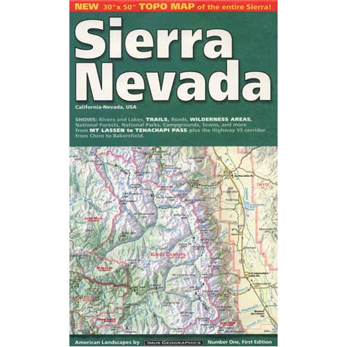
Maps can save your life. Maps can get you un-lost and can show you the way. Maps are your escape route outta the city. In a digital world where we are so connected w/ internet, smartphones and GoogleMaps, it is amazing that folks can find there way to real back roads of California. Don't be shocked when your digital signal drops at the wilderness edge and you are finally "away". Most online map sources are NOT accurate beyond the city limits, much less the forest boundary. Seriously folks, THEY don't want you out there. There is no place in the Wilderness to spend any money. Many have not properly logged the back roads yet, or perhaps they just won't make it available to the general public. You'll be lucky if they get the road number correct. BACK ORDERED / BACKORDER? OUT OF PRINT, OUT OF STOCK Availability of good maps is an ongoing issue. It's a unique factor in the map selling business. Although Total Escape carries a variety of Californ

Fukushima California

Image
Summer of 2012 and California has yet to slide off into the ocean, but the Pacific Ring of Fire is extremely active with earthquakes, and so are the volcanoes in the world. With wild stories of bizarre weather and climate change, anything is possible for the remainder of the year. The recession seems to be turning into a depression, the BP oil spill has polluted the Gulf of Mexico, and slowed down the Gulf Steam (North Atlantic Drift, or conveyor belt). This season we realize the triple nuclear meltdown in Japan is ongoing, perpetually poisoning the entire Pacific Ocean and our global atmosphere with unhealthy amounts of cancerous radiation. Fukushima California right here, right now As fallout from Fukushima heads our way, the government turns a blind eye Ventura County Reporter - A Radioactive Nightmare

Sequoia Forest Update

Image
Update for Sequoia Forest, 2012 Southern Sierra areas include - Sequoia National Forest, Kern River Canyon, Kernville, Tehachapi, Kennedy Meadows, Golden Trout, Domeland, Western Divide, Giant Sequoia National Monument. Further north, there is a small chunk of National Forest land smack dab in between Sequoia & Kings Canyon National Parks, some of the best, free Sequoia car camping anywhere . new: USDA National Forest waterproof map, updated and printed in late 2011 . The Wilderness areas of the Southern Sierra Nevada, known as SEQUOIA, has renamed their ranger districts too. Kern river & Sequoia ranger offices What was once Greenhorn Ranger District is now called Kern River Ranger District - one office in Kernville and one office on Lake Isabella .  Sequoia Hot Springs Ranger District in California Hot Springs is gone and a new Western Divide Ranger District is located in Springville, CA . Giant Sequoia is part of the Western Divide Highway, up near Ponder

Marketing a Hotel

Image
As independent innkeepers, marketing hotel property online and off line is now equally important. Gone are the days when you could run a small advertisement in the local newspaper and hope travelers see it. Now a full menu of advertising campaigns is necessary to even survive. A professional looking web site about your lodge with great photos, a map and current room rates, is a must in todays competitive market. hotel advertisement ON LINE - First you need to understand your cyber market, the folks that are surfing the web looking for a place to stay next weekend. Most are on the web daily, many for well over a decade and they expect web site to work properly. Amazing looking photographs to illustrate just how unique your property is just the start. They expect all links, emails, forms or PDF downloads to work correctly, all seasonal pages to be updated a few times per year, and they expect to be able to gather recreation and tourist information on your local California region

Benchmark Maps

Image
Benchmark Maps are the best, full state, full featured, road map for exploring the Western US. DanaMite, founder of Total Escape, has been using hers since 2000, and has always found a place to camp, on any dirt road, even in the wee hours of the night. Imagine waking up the next morning, with stunning scenery all around, cuz you went the distance. Benchmark Atlases for the Western United States CALIFORNIA ARIZONA NEW MEXICO NEVADA UTAH WASHINGTON OREGON