Posts

Showing posts with the label topographic

Baja Atlas - Baja Maps - Baja Almanac

Image
Benchmark Maps has a brand new Baja topographic map for 2021 -  The BAJA CALIFORNIA Road & Recreation Atlas This Benchmark atlas showcases the diverse recreation opportunities found along the full length of the Baja California Peninsula. Regional maps provide a wider view of the region and Recreation Guides list an array of attractions for trip planning.  Publish May 2021. ISBN: 9781734315059   Finding good, accurate maps of Baja California Mexico used to be a daunting task. Online searches produced the same, old results with broken links, out-of-date forum postings where travelers exchanged information on where to obtain a decent topo of Baja California.  Amazon.com lists some of the original Baja Almanacs - used or new copies - outrageous priced around $600  Ever since cartographer Landon Crumpton died, Baja lovers have had a hard time locating quality, topographic maps of the famous and popular Mexican peninsula. However, things are again changing.  Not only has Benchmark Maps

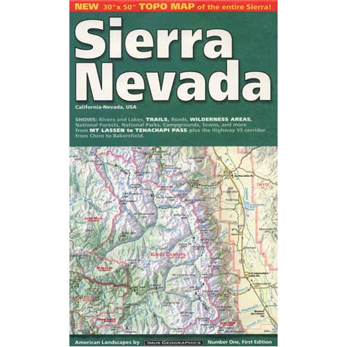
Sierra Nevada Map

Image
The Sierra Nevada mountains range in elevation from 2000' - 14,494' above sea level. From rolling foothills with creek, oaks & wildflowers to tower granite peaks, alpine lakes & high country meadows of the Eastern Sierra. Imus Geographics makes a nice overview map of the Sierra Nevada mountains and this one is a hot seller on Total Escape! Over at the Total Escape map store we have an epic selection of Sierra Maps - see all Sierra Nevada Maps Eastern Sierra Map Gold Country Maps Lassen Maps Mammoth Maps Mt Whitney Maps Sequoia Maps Tahoe Maps Yosemite Maps Northern Sierra Forest Map Set Central Sierra Forest Map Set Easterm Sierra Forest Map Set Southern Sierra Forest Map Set California Sierra Wilderness Maps PCT - Pacific Crest Trail Maps  

Map Availability

Image
Maps can save your life. Maps can get you un-lost and can show you the way. Maps are your escape route outta the city. In a digital world where we are so connected w/ internet, smartphones and GoogleMaps, it is amazing that folks can find there way to real back roads of California. Don't be shocked when your digital signal drops at the wilderness edge and you are finally "away". Most online map sources are NOT accurate beyond the city limits, much less the forest boundary. Seriously folks, THEY don't want you out there. There is no place in the Wilderness to spend any money. Many have not properly logged the back roads yet, or perhaps they just won't make it available to the general public. You'll be lucky if they get the road number correct. BACK ORDERED / BACKORDER? OUT OF PRINT, OUT OF STOCK Availability of good maps is an ongoing issue. It's a unique factor in the map selling business. Although Total Escape carries a variety of Californ

Benchmark Maps

Image
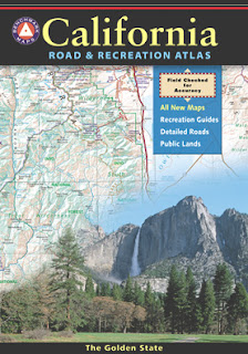
Benchmark Maps are the best, full state, full featured, road map for exploring the Western US. DanaMite, founder of Total Escape, has been using hers since 2000, and has always found a place to camp, on any dirt road, even in the wee hours of the night. Imagine waking up the next morning, with stunning scenery all around, cuz you went the distance. Benchmark Atlases for the Western United States CALIFORNIA ARIZONA NEW MEXICO NEVADA UTAH WASHINGTON OREGON

Waterproof Maps

Image
Been there, done that. Way into the outdoors . If you know someone on your holiday gift list like this, maybe they need some new local areas to explore. Grab a new waterproof map from Total Escape , NatGeo, Tom Harrison, USDA, we have 'em all. If plastic durability is not a concern, then try the wonderful, accurate, large, overview atlas (book map) for every California road trip. Benchmark brand is the best with big, detailed, dirt road, hot spring, outdoor beauty. Way better than DeLorme.

tour california map

Image
You can pick up any popular road atlas of California in the supermarket. These Rand McNalley's and Thomas Brothers map books will show you how to get around in the freeways and the cities of Cali. We wanna show you more, much more. The real scenic drives, the back roads and rural highways. More of REAL CALIFORNIA Total Escape has every possible wilderness map you could ever need for this golden state. The Sierra mountains, the Coast, SoCal and NorCal. We want to inspire you to be outside, to hike and explore the back roads. To fish, kayak and snow ski. To re-create in our recreation paradise called Cali-forn-ia. MAP STORE - for planning your escape

Trail Wilderness

Image
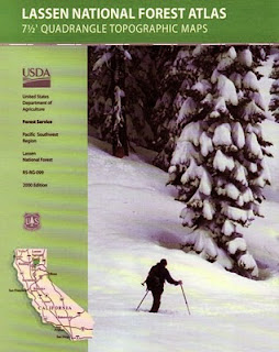
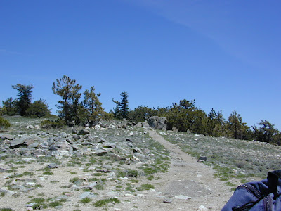
Mount Pinos Peak 8830' elevation, Kern County We all seek a wilderness trail to hike or stroll. Wonderful weather, enveloped in scenery, a peaceful place to call our own - if only for the day or the whole weekend. Deep inside the sacred space we call nature, Mother Earth. Maybe a picnic and waterfall as the highlight of the whole day. In California we are lucky to have plenty trails to enjoy and explore. Whether you want a foot trail to a lake, a fishing trail along the river, a backpackers trail over the highest peaks, an equestrian trail, a mountain bike route, or snowmobile trails new and fresh, we just might have it on our maps - somewhere in here . California Wilderness Areas California Forest Maps California Wilderness Maps California Topo Atlas California Recreation Maps Tom Harrison Topographical Maps

Hillbilly Off-Roaders

This term above is actually a mental state, not a geographic location. Although you are more likely to find these guys on the back roads in rural regions. CB radios & all. Exactly one week ago, at sundown I was calmly working online & watering flowers. Then HE called. The sexy boy, who I cannot say no to. "Where's my car?" I asked. "It's fine, it's in my driveway at home". Your stuck, stranded, wheeling where? Off Miller, shit! After I pinpointed their location on my Los Padres topo atlas, I am now in the process of rescuing some local off-roader pals - in my AWD Saab? How many rednecks in town can you get to do this right now? (Can't you call some male friends to help?) Hint: These are not the same 4x4 dudes that showed for the Quatal Canyon CleanUp. NO, go pick up the Amigo in Frazier & here's the long list of supplies. Since I haven't been on a 4WD rescue in 3 years, I jump at the chance to see the Sespe at night in th