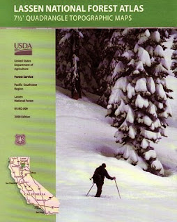
Posts

Showing posts with the label NFS

Map Availability

Image
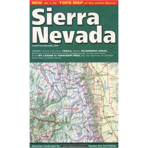
Maps can save your life. Maps can get you un-lost and can show you the way. Maps are your escape route outta the city. In a digital world where we are so connected w/ internet, smartphones and GoogleMaps, it is amazing that folks can find there way to real back roads of California. Don't be shocked when your digital signal drops at the wilderness edge and you are finally "away". Most online map sources are NOT accurate beyond the city limits, much less the forest boundary. Seriously folks, THEY don't want you out there. There is no place in the Wilderness to spend any money. Many have not properly logged the back roads yet, or perhaps they just won't make it available to the general public. You'll be lucky if they get the road number correct. BACK ORDERED / BACKORDER? OUT OF PRINT, OUT OF STOCK Availability of good maps is an ongoing issue. It's a unique factor in the map selling business. Although Total Escape carries a variety of Californ

Sequoia Forest Update

Image
Update for Sequoia Forest, 2012 Southern Sierra areas include - Sequoia National Forest, Kern River Canyon, Kernville, Tehachapi, Kennedy Meadows, Golden Trout, Domeland, Western Divide, Giant Sequoia National Monument. Further north, there is a small chunk of National Forest land smack dab in between Sequoia & Kings Canyon National Parks, some of the best, free Sequoia car camping anywhere . new: USDA National Forest waterproof map, updated and printed in late 2011 . The Wilderness areas of the Southern Sierra Nevada, known as SEQUOIA, has renamed their ranger districts too. Kern river & Sequoia ranger offices What was once Greenhorn Ranger District is now called Kern River Ranger District - one office in Kernville and one office on Lake Isabella .  Sequoia Hot Springs Ranger District in California Hot Springs is gone and a new Western Divide Ranger District is located in Springville, CA . Giant Sequoia is part of the Western Divide Highway, up near Ponder

tour california map

Image
You can pick up any popular road atlas of California in the supermarket. These Rand McNalley's and Thomas Brothers map books will show you how to get around in the freeways and the cities of Cali. We wanna show you more, much more. The real scenic drives, the back roads and rural highways. More of REAL CALIFORNIA Total Escape has every possible wilderness map you could ever need for this golden state. The Sierra mountains, the Coast, SoCal and NorCal. We want to inspire you to be outside, to hike and explore the back roads. To fish, kayak and snow ski. To re-create in our recreation paradise called Cali-forn-ia. MAP STORE - for planning your escape

Ward Lake, Sierra Nevada

Image
Ward Lake Originally uploaded by danamight This is one of those places you drive by once, looking at the scene, you say ONE DAY. I gotta get back to this spot. Well, this is the day that you start the plans to make it happen. seriously dude No more procrastinating, no more excuses, no more weekends a wasted. This alpine paradise is just up the road a piece from Fresno, of all places. Yes, you read right - Fresno, that smoggy, scarey Central Valley mecca in the middle of California. From Highway 99, find Hwy 168 & head due East into the mighty Sierra Nevada. This epic outdoor recreation area is just south of Yosemite National Park. After climbing in elevation, thru oak foothills and pines, passing Shaver Lake and continuing on past Tamarack. When you are near Huntington Lake, hang a hard right up the Kaiser Pass (a windy steep paved back road) and just keep on going toward Florence Lake. Ward Lake is a small lake on the way and you may miss it, if you blink. This adventure