Posts

Showing posts with the label BLM

Dirt Biking Trails

Image
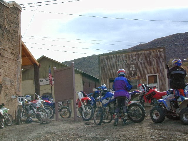
California has the most amazing and diverse terrain you can imagine. Ancient lava beds to dense forests, giant boulder rock outcroppings to sand dunes. Off road motorcycles, otherwise known as 'dirt bikes' can find riding trails near home or across the state, in far away locations. dirt bike routes dirt bike camping dirt bike trails Dirt biking off road trails can be found outside of nearly any urban city in California. In National Forests, on BLM lands, all across the many deserts and in a good portion of the mountains. The Sierra Nevada mountains located in the middle of the state has many high elevation OHV routes to small alpine lakes and primitive camp sites. SoCal has the winter prime-time desert warmth, Central Cal has coastal dunes, steep canyons, and rugged foothills, plus the giant Mojave desert which stretches from Joshua Tree area to Vegas. NorCal has the endless forests, solitude and rivers you seek. SoCal Off Road Areas Imperial Sand Dunes Heber Dunes

Fossil Falls on Hwy 395

Image
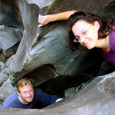
While it may be a bit hot to visit here during summer, I thought I would let everyone know about this awesome "stretch break" along US Hwy 395 , where the Mojave meets the Sierra Nevada. When you are on your way northbound toward Bishop, entering the lava corridor of the Eastern Sierra, look for a red cinder cone volcano on the right side of the highway. This easy to miss turn off is after Little Lake (which is the remains of a burnt hotel) & before Coso Junction. If you are driving over 55 mph, you may actually miss it. To find Fossil Falls (which is not a waterfall anymore) -- turn right off Highway 395, on to a well marked gravel road called CINDER ROAD. High clearance vehicle is not required. Follow road to the right w/ signs approx. 1 mile & you will be at a small primitive BLM campground & trailhead parking lot. Surrounded by a field of black lava chunks, the Sierra Nevada mountains to the west and Death Valley Park to the east. New picnic tables &

Northern California Lakes

Image
NorCal Lakes & Reservoirs Our northern California lakes region designates recreation reservoirs and lakes north of San Francisco, Sacramento and Truckee (Interstate 80 Donner Pass) California Lakes near Interstate 5 Lake Oroville Black Butte Lake Stoney Gorge Reservoir East Park Reservoir Shasta Lake Whiskeytown Reservoir Castle Lake @ Castle Crags SP Siskiyou Lake Lake Shastina West of Interstate 5 Lake Berryessa Hennessey Lake Indian Valley Reservoir Clear Lake Lake Mendocino Lake Pillsbury Ruth Lake Lewiston Lake Trinity Lake East of Interstate 5 Lake Almanor Mountain Meadows Reservoir Butt Valley Reservoir Antelope Reservoir Lake Davis @ Portola Eagle Lake @ Susanville Lake Britton @ Burney Falls Juniper Lake @ Lassen NP Iron Gate Reservoir @ Oregon border Copco Lake @ Oregon border Tule Lake Big Sage Reservoir West Valley Reservoir Northern Sierra Lakes Lake Tahoe Donner Lake Boca Reservoir Prosser Reservoir Stamp

California Desert Camping

Image
Winter months in California is prime desert camping time. The perfect time to plan your desert trip is November thru April. If a seasonal storm is not in the forecast, the weather is usually sunny and mild, wind is always a given & wildflowers bloom as early as February. Go enjoy the Mojave Desert , Death Valley , Anza Borrego Desert , Joshua Tree , the Lancaster Poppy Fields or the Eastern Sierra lava flows. California Desert Camping Ideas Surreal Box Canyon near Mecca, California is free camping BLM land located perfectly in between Anza Borrego Desert and Joshua Tree National Park .  This area is totally worth a hike, stretch break, or sightseeing visit, if not for an over night stay. Many superb camp spots tucked in near the cliff edges. Be prepared for late night traffic noise as semi-trucks from Interstate 10 use Box Canyon Road as a frequent through route. desert destinations Anza Borrego Desert SP Ballarat Benton Hot Springs Bodie California Borre

Map Availability

Image
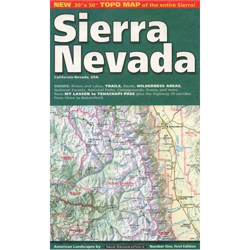
Maps can save your life. Maps can get you un-lost and can show you the way. Maps are your escape route outta the city. In a digital world where we are so connected w/ internet, smartphones and GoogleMaps, it is amazing that folks can find there way to real back roads of California. Don't be shocked when your digital signal drops at the wilderness edge and you are finally "away". Most online map sources are NOT accurate beyond the city limits, much less the forest boundary. Seriously folks, THEY don't want you out there. There is no place in the Wilderness to spend any money. Many have not properly logged the back roads yet, or perhaps they just won't make it available to the general public. You'll be lucky if they get the road number correct. BACK ORDERED / BACKORDER? OUT OF PRINT, OUT OF STOCK Availability of good maps is an ongoing issue. It's a unique factor in the map selling business. Although Total Escape carries a variety of Californ